Where am I? DCC > CAVING AND MINING > CAVES > CAVING AREAS > GLOUCESTERSHIRE
CAVES IN THE FOREST OF DEAN
Gloucestershire can probably be divided conveniently into two parts: west of the Severn and east of the Severn. West of the River Severn is dominated by The Forest of Dean and is a basin of limestone with coal measures overlying the centre of the basin. (This is the reverse of Derbyshire where the limestone is a dome in the centre and the coal measures form a ring around the outside.) This structure has led to the features of the Forest of Dean that attract the caver and miner. Click on the context-sensitive areas of the map for more detail. East of the River Severn is a narrow strip of flattish land before the escarpment of the Cotswolds. The Cotswolds are of oolitic limestone and provide a source of good building stone which stretches down into Wiltshire.
 area map
  access
  albums and reports
 Left: Geological map of the Forest of Dean
In the Forest of Dean (and the adjoining section of
 Monmouthshire) there
are many caves but most are quite small. Until
recently, the prospects for large systems seemed poor but in
the last few decades, the idea that the FOD was
worked out was proved very wrong with the finding of Otter
Hole (actually in Wales) and then the Wet Sink system. More recently,
cavers dug down into Miss Grace's Lane Cave, largely developed on a single
level.
 Another recent dig is Redhouse Swallet near English Bicknor which,
like most Forest caves, has required a huge amount of engineering work to enter
it. Caves are not only found in the 'natural' state because a number
the iron mines show strong evidence of being formed from iron infilled caves.
 of
If you go down Lambsquay or Wigpool, you are as likely to be following a natural
passage as a mined passage.
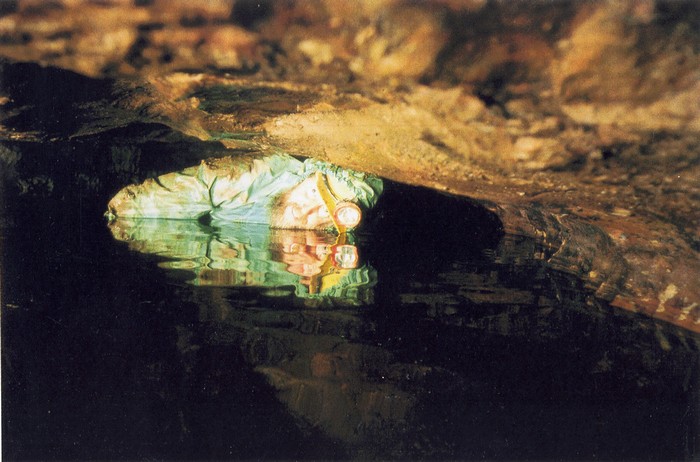
The main caving area in Gloucestershire is around English Bicknor and Symonds Yat although caves are also found further south on the western outcrop of the limestone. Otter Hole is in Monmouthshire on the west bank of the river Wye. Otter Hole is of course famous for its tidal sump which blocks access to the majority of the cave twice a day. Trips are usually arranged as either "between the tides" or "over the tides" so can start at quite anti-social times of day and last for 15 hours or more.
AREA MAP
Go to TOP
ACCESS
 The DCC used to have regular trips to the
Forest, mostly at Easter. Like many other things,
these have lapsed, not least because access to the Old Ham / New Dunn complex
is not as free as it used to be. (The main shaft in New Dunn became polluted with a
black, oily tar which led to that mine's closure to normal visitors. Recent
work with a biological attack on the tar is considered hopeful.) Wet Sink is accessible by prior
arrangement and Otter Hole can be visited with leaders. There had been
concern at Otter Hole due to pollution but this turns out to be natural and no
longer prevents trips, provided simple precautions are taken. The resident caving clubs are the
Royal Forest
of Dean Caving Club, the Gloucester Speleological Society
and the Hades Caving Club. All of these are active and
very friendly. Finally, you can have 'clean trip' by
visiting the iron mine at Clearwell (called Clearwell
'Caves') and there may be a coal mine open to visits
now. We still have a number of contacts in
the area so if anyone is interested, contact the Club.
Go to TOP
ALBUMS AND LOG REPORTS
Albums
Reports
- None
Go to TOP
USEFUL LINKS
Some links to Forest of Dean sites:
- Gloucestershire Cave Rescue
- Forest of Dean Cave Conservation and Access Group (FoDCCAG)
- Royal Forest of Dean Caving Club
- Gloucester Speleological Society
- Redhouse productions (videos)
Go to TOP
